Reno, San Francisco, & random Nevada
January 2001
Click on any picture on the page for a full-screen (880x584) version - they're about 100k each. Any wierd splodges or streaks are most likely things on the windshield (I took quite a few pictures while we we driving to and from places).
December 29th - Donner Pass
On the way from San Francisco to Reno, we stopped at the Donner Pass Memorial. |
Donner Lake, just up the road. |
 |
This is the plaque at the bottom of the memorial, so you can see it. It explains the monument way better than I could. |
 |
The memorial itself - snow was up to the level of the platform in October 1846. |
January 1st - Pyramid Lake
Named for a pyramid-like island that doesn't feature at all in these pictures. I have a couple of panoramas to assemble which should feature it though.

A panoramic image of Pyramid Lake. (this is a big (200k+) image).
 |
Genuine two-lane blacktop. The tiny red dot in the middle is a car that just passed us. (that strange black blob is something on Kelly's windshield) |
 |
The actual lake - unfortunately the afternoon sun freaked out my camera somewhat. |
 |
Some more of the lake - it'll be a lot cooler as a panorama. |
 |
One of the features of the lake is this type of rock formation - there are great hunks (this is about 4 times my height or more) of these sharp, calcified shapes. |
 |
Here's a more close-up picture. Check out the funky texture in more detail here, too. |
 |
Another one, with another close-up |
January 5th - Lake Tahoe

A panoramic image of Lake Tahoe, from somewhere on the northeastern shore. (this is a big (200k+) image).
 |
Just some pretty mountain road on the way to Truckee, I think. |
 |
This is an inlet at the southern end of Lake Tahoe. On the island there is some sort of castle-ish folly, which you can see best in the big version. |
 |
This is the view south from the same spot - very attractive mountains. |
 |
You know you're back in civilisation when you pass this liposuction sign. I missed the $3400 boob job sign just after this one. Who says Nevada is seedy? |
January 7th - Petroglyphs at Grimes Point
This place is just east of Fallon, about 30 miles east of Reno. The etchings in the rock here vary in age from 500 to 2500 years. |
A kind-of-hard-to-read plaque explaining why they look the way they do. I'll find a better picture. |
 |
Clear examples of the older style of petroglyph. |
 |
This is really interesting. As you can read in this enlargement, this area was part of a huge lake covering most of northern Nevada (along with Pyramid Lake, above). Water levels have receded somewhat since then. |
 |
The view directly behind the previous sign. |
 |
More nice, clear old style marks. |
 |
The dimples and the clear markes here are older than the (less visible) dashed lines on the right hand side by about 1500 years, apparently. |
January 9th - Berlin Ichthyosaur State Park
At Berlin,NV there is the Berlin Ichthyosaur State Park, which covers two areas of interest. The first is a collection of North America's largest known Ichthyosaur fossils. The second, which most of the pictures cover, is the abandoned mining town of Berlin, which was operating from around 1869 to 1911, when it was closed due to insufficient profit (the mine was flooding at the lower levels, the miners were striking for more money).At least part of my interest in this trip was how far away from anything this place was. Round-trip Reno to Berlin was about 300 miles. Fallon, the last reasonable-sized town is in the first 45 of that trip. US50, The road past Fallon has signs on it announcing the state's "loneliest road". Our destination was a dirt track 20 miles down a side road which in turn was 30 miles south of the "loneliest road" - it was a lot of straight road, and not a lot of anything else.
Note: This day's pictures seemed to tax my camera a little more than usual, so the sky detail and the plains aren't all they could be - I'll have a Photoshop session with them when I get back, because some of them just don't do the landscape justice.
 |
There had been some snow at high altitude the night before (rain where we were), so the higher mountains were nicely dusted. |
 |
More nicely snowy mountains, with the clouds just touching down. |
 |
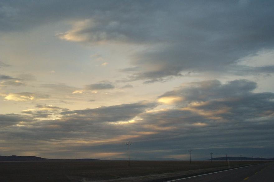
This is the "loneliest road", US50. They do have a point, although you actually do see a fair number of trucks passing. |
 |
More of US50, or possibly 361 (the loneliest side-road). |
 |
After Gabbs, you turn onto a really pretty mountain road (844, for those following with an atlas), and gain about 2000 feet in a few miles. Up there at 7000 feet, the snow was in full effect, and the flora switches from scrubby bushes to pine trees, which is a whole lot nicer. |
 |
This ominous looking track is the last couple of miles up to Berlin. which is just visible in the centre-right. Luckily the snow wasn't deep - no snow chains and regular car tyres made it a possibility we'd have to walk the last part. |
 |
This reminded me a lot of the opening scene of Silverado, somehow (Penguin will know what I mean), although that movie was filmed in Colorado, if I remember correctly. Anyway, this is a 100-year-old outhouse. |
 | Looking roughly east, up the hill. The building in front is actually part-lodgings and part-stable - the stagecoach driver slept with his horse, pretty much. |
 | A view back down the hill, showing the lower part of the town. |
 |
The rear of the main Mill building, with the mine truck rails (and truck) used to deliver ore into the mill. |
 |
We didn't quite figure this out - it isn't the mine shaft, but apparently is where the mine trucks are filled. Just behind the Mill. |
 |
This is a secondary shaft into the mine. I liked the sign. It seems that in the summer, there are rattlesnakes, but the rattlesnakes don't warrant anything like as stark a sign as this. Of course, being buried alive under a collapsing mineshaft is not a fun thing. |
 |
Inside the Mill building. The ore came in in the back left of the picture, and was mashed into an amalgam by steam-powered presses before the silver and gold was extracted. I particularly like the ladder here. |
 |
The machine shop/blacksmith's building, with a really decripit car out front. Can you imagine trying to drive out here in one of those? |
 |
The Ichthyosaur part of the park is a couple of miles further up the track, and is a large sunny building covering the fossils found by Dr Camp in the mid-50s. I didn't take any photos of that at all (you really do need a lot of imagination for fossils), but as you come out, the view over the plain below of fantastic. |
 |
As we were coming back up 361, the sun was starting to set. What this actually is (it's not so clear here), is the mountain piercing a cloud around it's peak. |
 |
More pretty snow-capped mountains. |
 |
And more sunset-ish stuff. |
 |
Mountains. |
 |
Backlit clouds - purty. |
 |
Last one before it got too dark - damn that windscreen splodge! |
January 11th - Reno to Sacremento
The day before making the trip, the weather people spent all their time telling us about these huge storms coming in from the Pacific - San Francsico had had a lot of rain, and the mountains a lot of snow. The night before, it was snowing in Reno too. So on the day of the trip, we were a bit apprehensive about what we'd find driving through the Sierras.
 | On the way out of Nevada (probably around Verdi). Much more snow than last time we came by here. |
 |
California State Line. Note the clear road. |
 |
Somewhere up higher. The snow is thinnish here. |
January 12th - Sacremento to San Francisco
 | This is just driving into Berkeley - a fairly ugly bridge. Nice views from the bridge, but there was too much bridge in the way. |
January 13th - San Francisco

A panoramic image of the view from the end of Pier 39. (this is a big (200k+) image). On the larger version, you can see: A ship docked at the Maritime History Park (I think), the Golden Gate Bridge, a chuck of Marin County, the San Rafael Bridge, Alcatraz Island, Angel Island, and a big pole.
 |
|
 |
|
 |
|
 |